F&M Stories
Scholar Charts His Own Path with Story Map
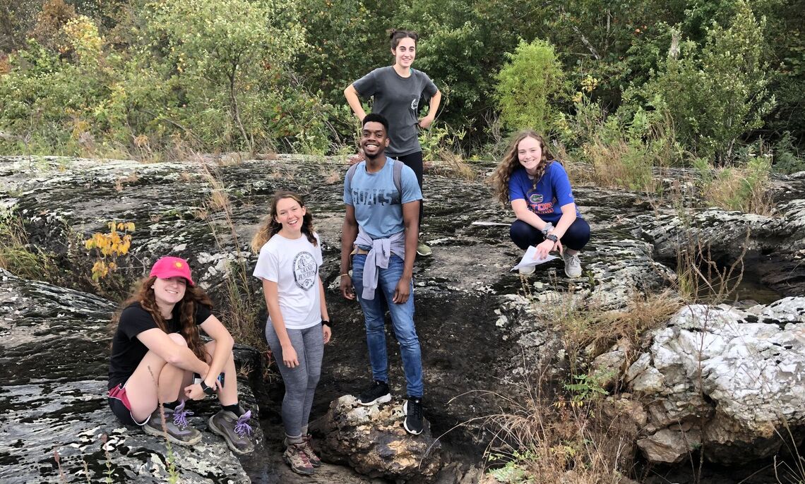
When COVID-19 disrupted summer fieldwork, Jevelson Jean '21 had to chart his own path.
Luckily, he has a knack for that kind of thing. Leaning on his geoscience major and art studies minor, Jean is creating a story map in support of the Big Spring Run restoration experiment.
Focused on a stream valley flowing south of Lancaster, the summer research is supported by F&M's Center for Sustained Engagement with Lancaster (CSEwL).
"I was supposed to be working in the field, taking samples, collecting data from the river restoration project. When COVID happened, we had to shift the books and still do something meaningful," said Jean, a Cooperman Scholar.
That's when geoscience professors Dorothy Merritts and Robert Walter '75 encouraged Jean to depict Big Spring Run's 8,000-year history.
"Story maps have become valuable tools for science visualization, engaging both public and professionals alike," Walter said.
Using Geographic Information System (GIS) software, Jean is incorporating video, pictures and inset maps to bring the wetland area's topography and history to life.
"It's basically an interactive way of telling the story," Jean said. "It allows the audience to click on something. The whole map is set to tell a story and it's vertically aligned. My job is to explain the story of Big Spring Run and how it came to be — and what else needs to be done."
Since 2008, Merritts and Walter have partnered with environmental engineers, geologists, botanists, landowners and F&M students to transform Big Spring Run into a new ecosystem. Their efforts have helped revive the Chesapeake Bay watershed's sensitive ecology and improved upon previous approaches to stream restoration.
More than 20,000 tons of historic sediment deposited upstream of an 18th-century milldam were removed in 2011, restoring the area to its grassy wetlands condition that existed prior to the construction of the now-obsolete dam.
"Big Spring Run was used by European settlers and that's why there's so much legacy sediment. That could be from as far back as the 1700s," Jean said.
Jean combed through historic maps from the 18th and 19th centuries, aerial photos dating back to the 1930s, and various other reports and documents.
"This is something new for me. I'm learning the book right now," he said. "And I'm learning a lot."
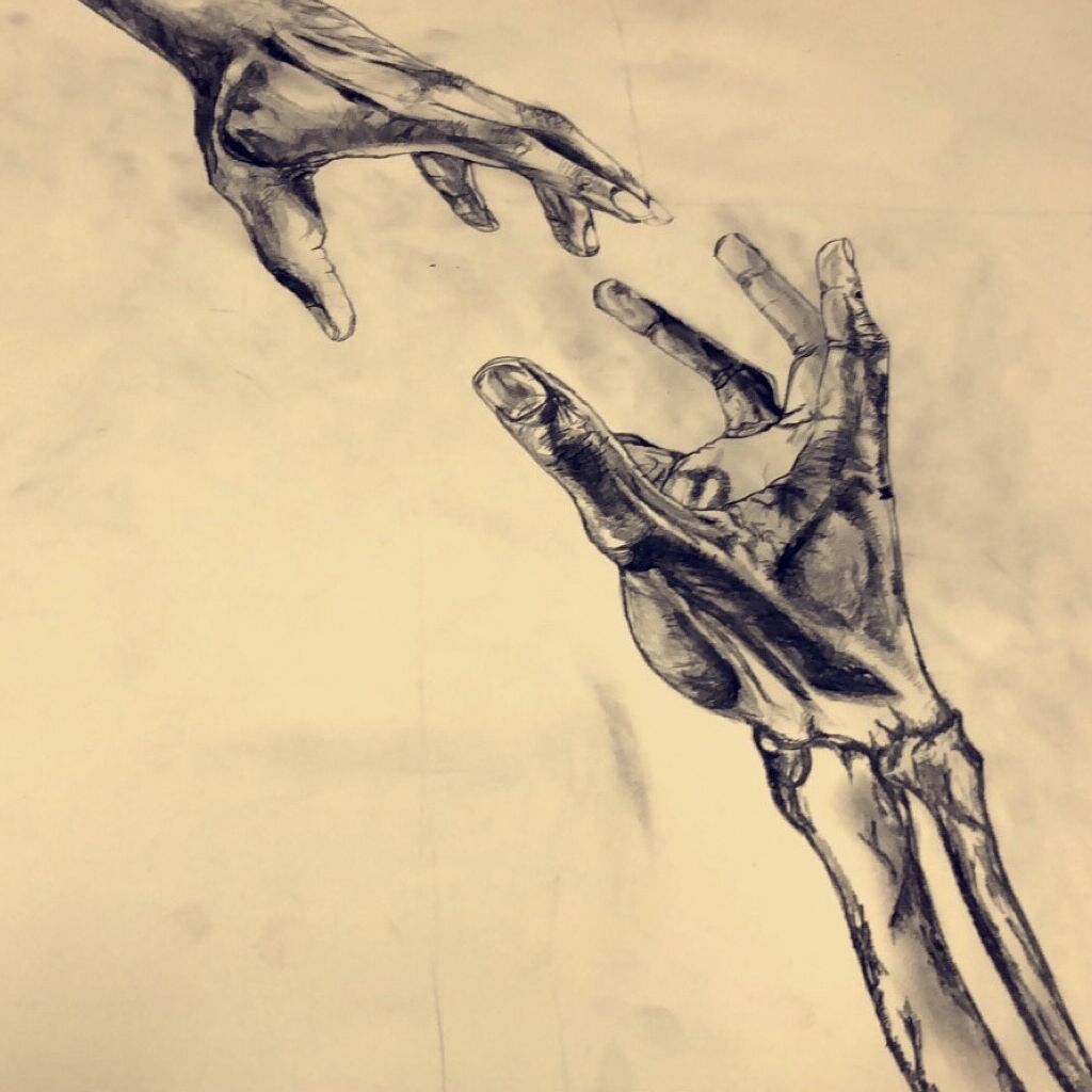
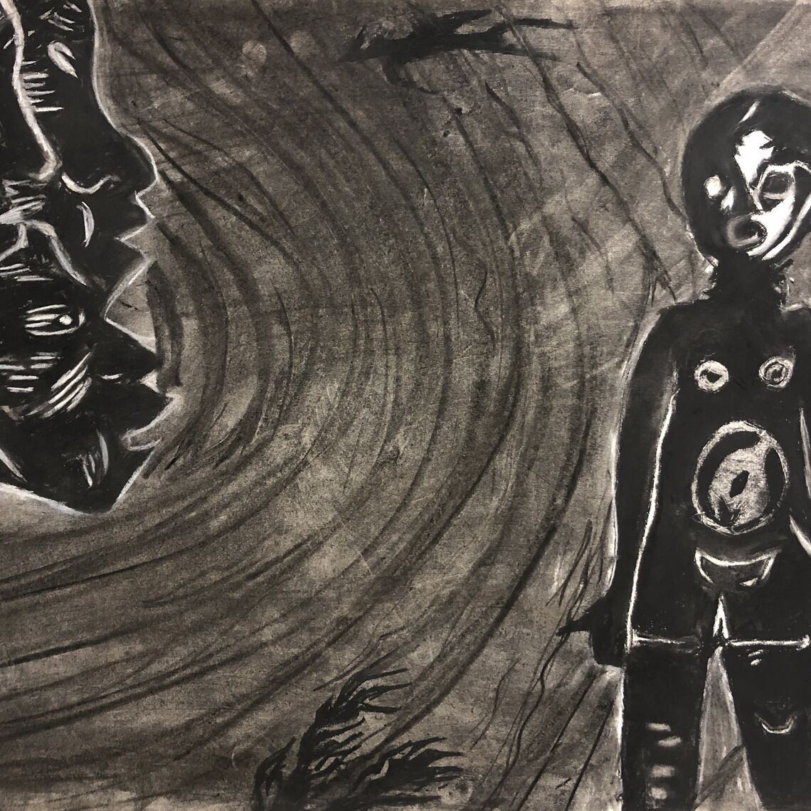
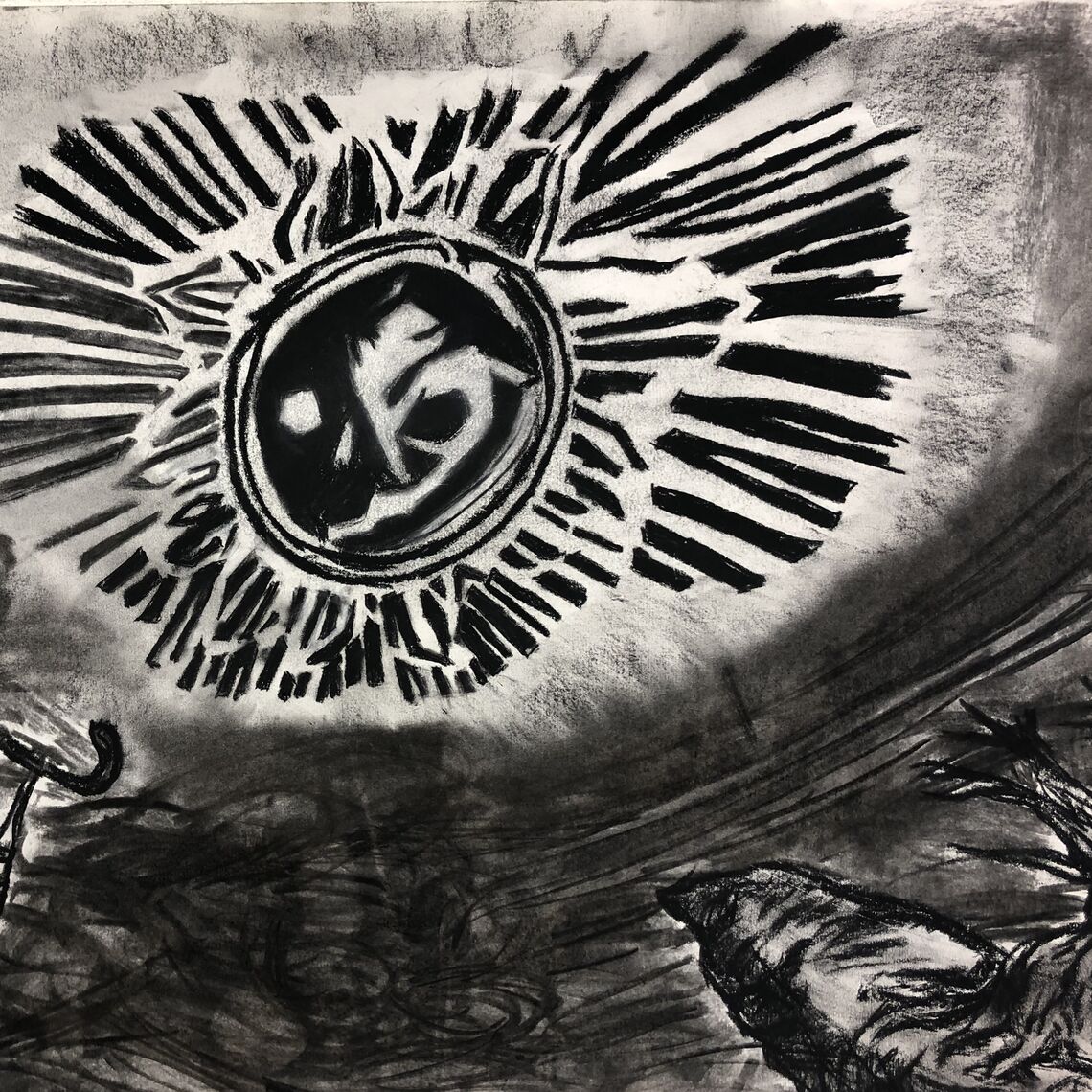
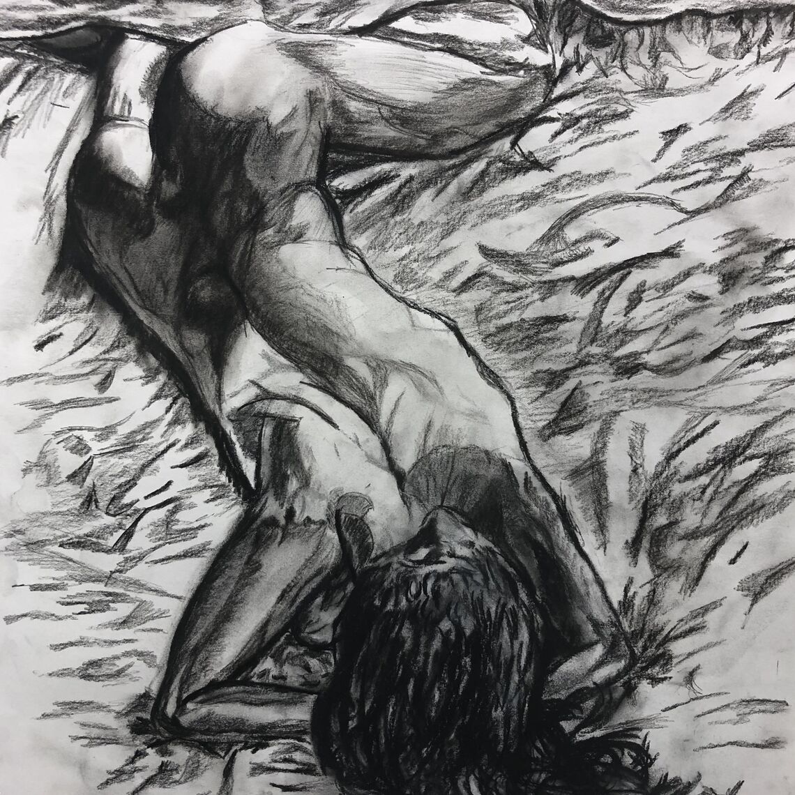
Geospatial data might seem like a radical departure for an artist whose preferred medium is charcoal. However, Jean has found the fields to be complementary.
"Whenever I'm creating a story map, I'm thinking of the composition. The media isn't right, that part is too crowded, this picture is too colorful," Jean said.
"It requires the use of a lot of art principles," he said. "Often, it's like an instinct."
That instinct should take Jean far in his pursuit of a career that combines geoscience and art.
Related Articles
February 16, 2026
Powering Innovation: Inside F&M’s Campus Supercomputer
Imagine 1,600 computer processors combining power toward one task. This is the engine driving innovation at F&M. Called a High-Performance Computing (HPC) cluster, this elite shared resource accelerates discovery, empowers large-scale research, and fuels the collaborative spirit that defines the F&M experience.
February 3, 2026
Coral, Caves and Ice Cores: The Path to Hydrology for Monica Arienzo ’08
Hydrology research has taken Monica Arienzo ’08 to coral reefs in the U.S. Virgin Islands, underwater caves in the Bahamas and ice cores in Antarctica and Greenland.
January 28, 2026
A Landmark Investment in Geosciences: Honoring Professor Robert C. Walter
A transformative $2.1 million gift from an anonymous donor celebrates Franklin & Marshall’s renowned Department of Earth & Environment and the impact of its esteemed faculty. The gift establishes the Distinguished Professorship of Geosciences in honor of Robert C. Walter, Ph.D. ’75, and creates the Earth & Environment Instrument Support Endowment.

